
Reference
Arugam Bay Facts: Geography, Seasons and History
A reference page of checked facts about Arugam Bay, kept deliberately conservative: where numbers are approximate we say so, and where sources disagree we leave the claim out.
- District
- Ampara, Eastern Province
- Nearest town
- Pottuvil, about 4 km
- From Colombo
- About 320 km, 7 to 8 hours
- From Ella
- About 130 km, 3.5 to 4.5 hours
- Season
- Roughly May to September
- Famous for
- Main Point right-hand break
Geography
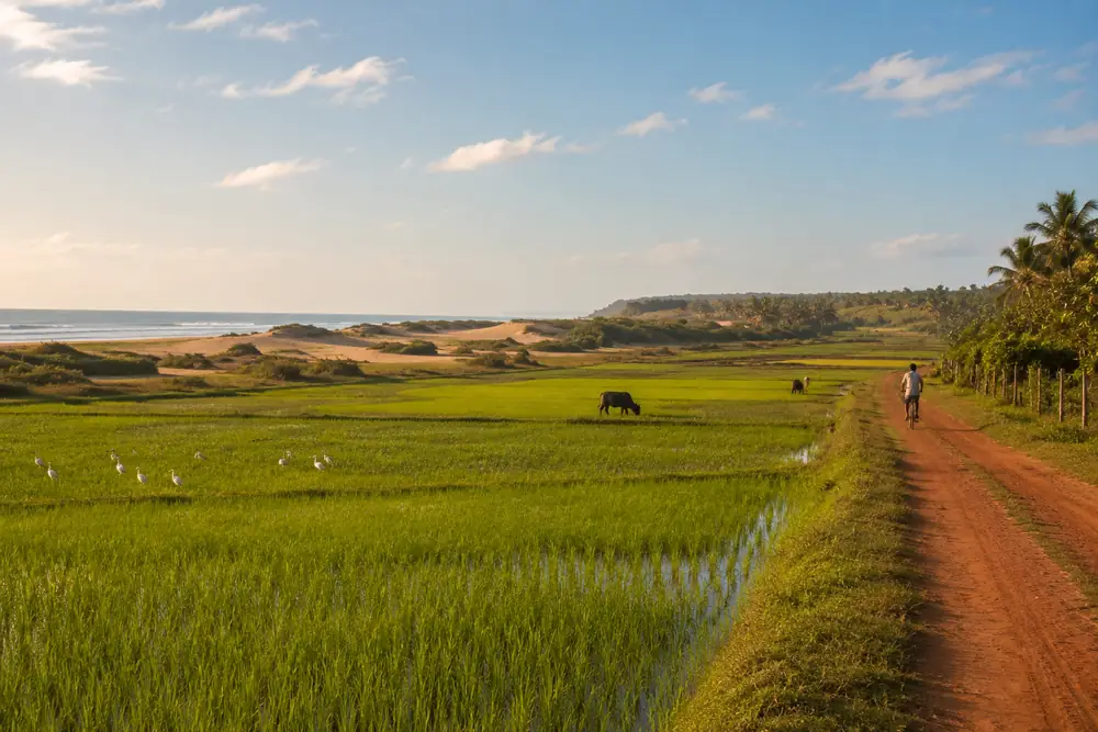
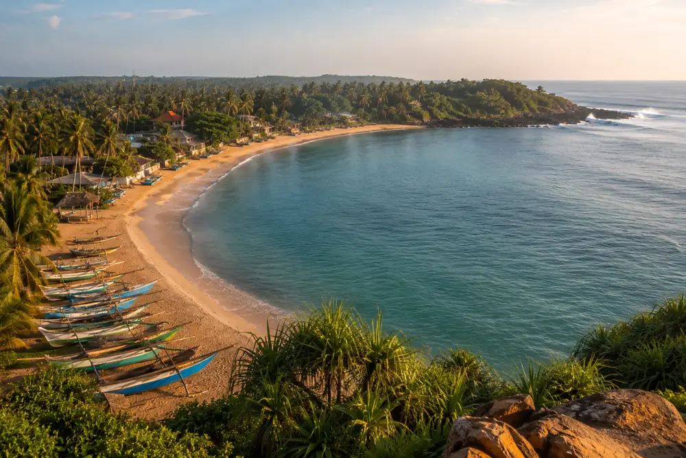
Arugam Bay is a curving bay and settlement on Sri Lanka's southeast coast, in Ampara District, Eastern Province. It sits about 4 kilometers south of Pottuvil, the local administrative and market town, separated from it by the Pottuvil Lagoon. By road it is roughly 320 kilometers from Colombo and about 130 kilometers from Ella in the hill country.
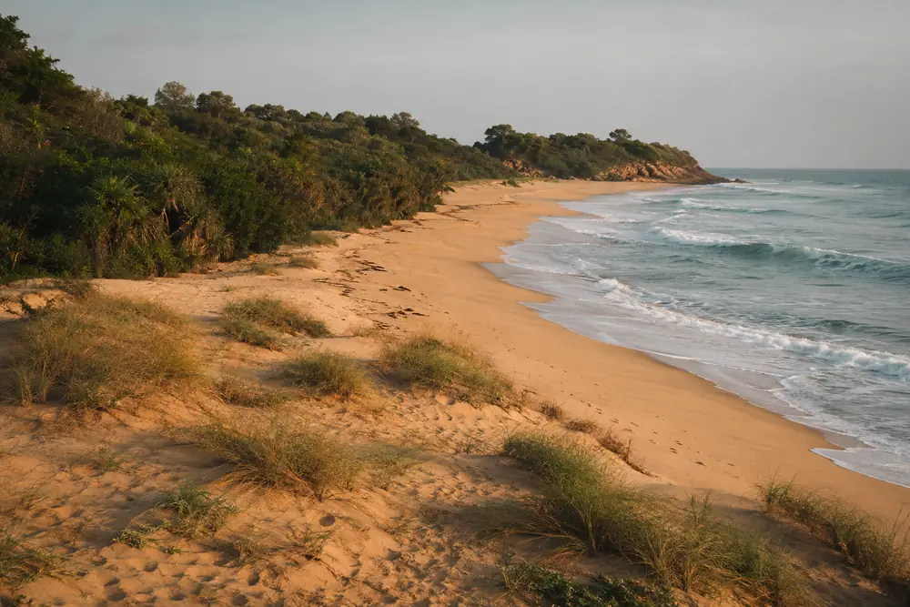
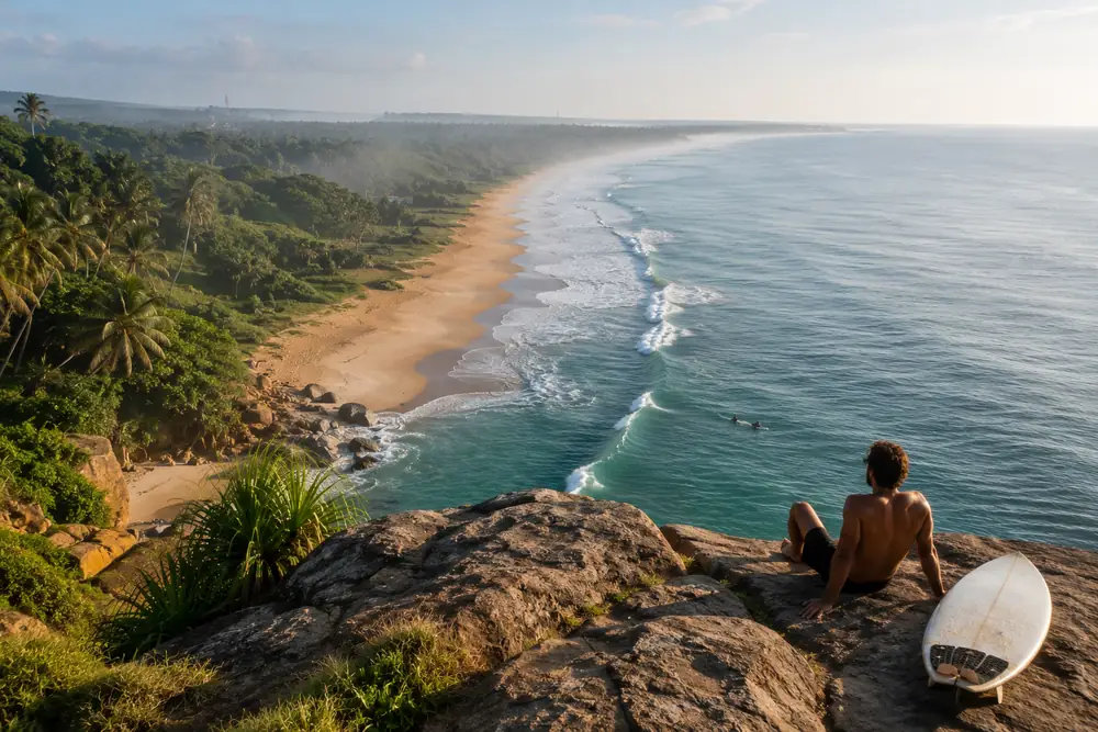
South of the bay the coast runs wild: Elephant Rock at about 5 kilometers, Peanut Farm at about 8, Panama village at about 12, Kudumbigala Monastery at about 20, and the Okanda entrance to Kumana National Park at about 30. Distances are approximate and rounded on purpose.
The surf
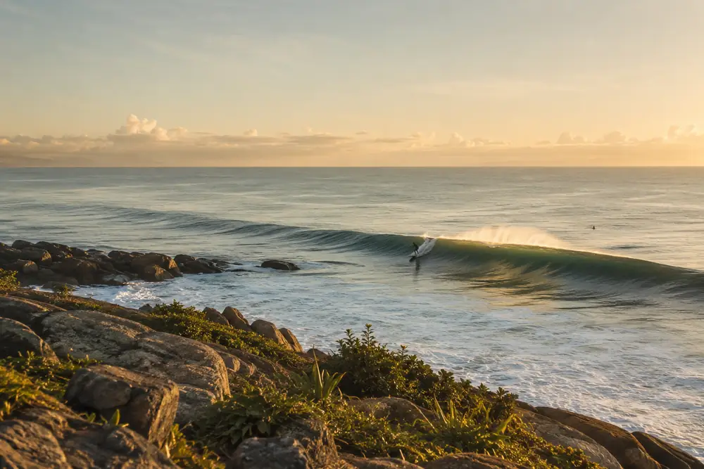
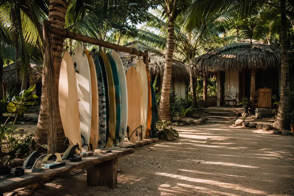
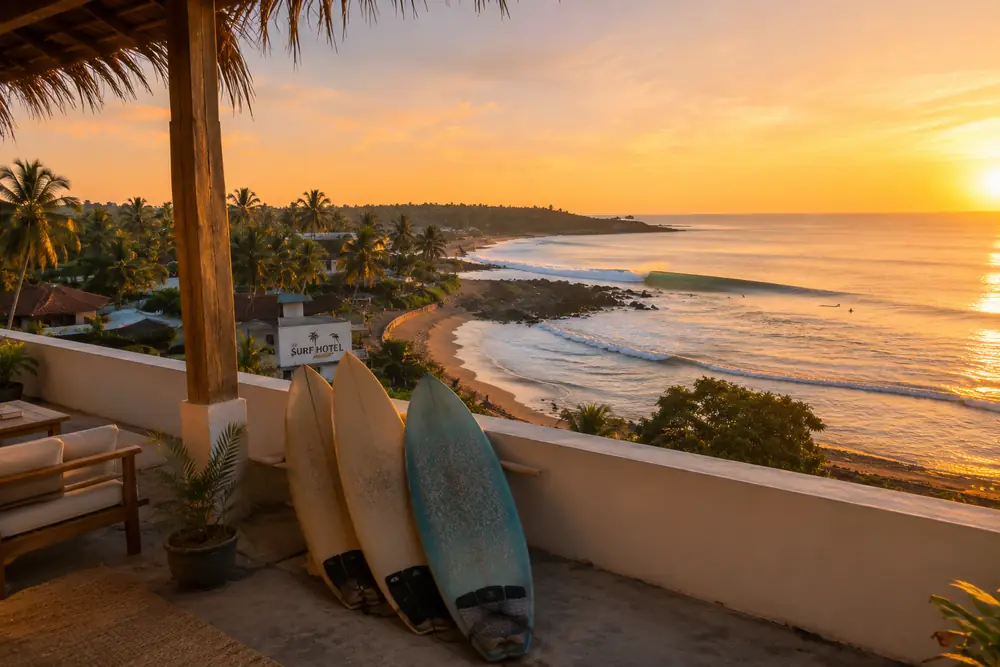
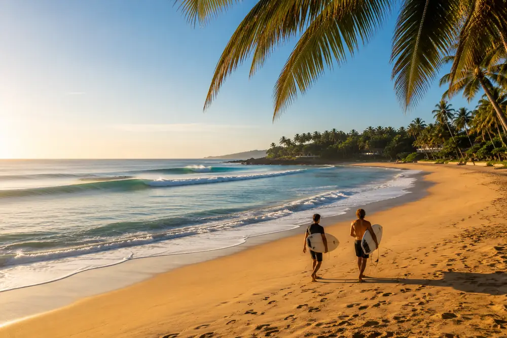
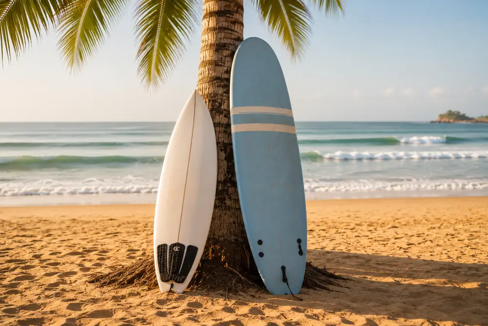
Arugam Bay's reputation rests on Main Point, a long right-hand point break at the southern end of the bay that is widely counted among the best waves in Asia. The surrounding coast holds a family of supporting spots, including Whiskey Point and Pottuvil Point to the north and Peanut Farm, Elephant Rock and Okanda to the south.
The surf and dry season on this coast runs roughly May to September, opposite the southwest monsoon that governs Sri Lanka's south and west coasts. June, July and August are usually the most consistent months.
History and community
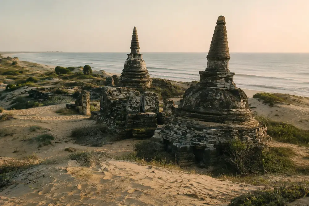
The area is a long-standing fishing and farming coast; Pottuvil is a predominantly Muslim and Tamil town, and Panama to the south is a historic mixed farming village on the edge of the Kumana wilderness. Muhudu Maha Viharaya, an ancient Buddhist temple site, stands in the dunes by Pottuvil's beach.
The 2004 Indian Ocean tsunami struck this coast hard, causing heavy loss of life and destruction in Arugam Bay and Pottuvil. The town was rebuilt over the following years, and surf tourism became a central part of its recovery. Travel here has since grown season by season, while the town has kept its low-rise character.
Nature
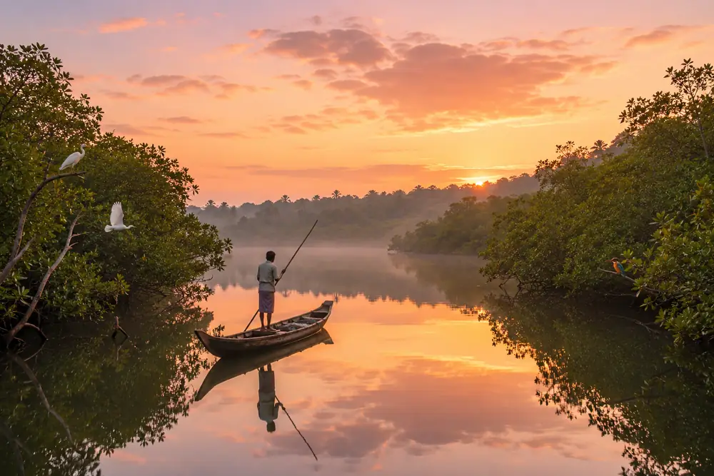
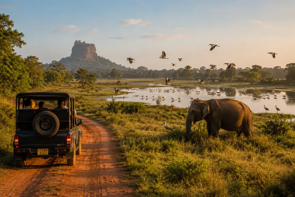
The Pottuvil Lagoon is a mangrove system known for birdlife, crocodiles and elephants at its edges, visited by small-boat trips at dawn and dusk. Kumana National Park, south beyond Panama and Okanda, is one of Sri Lanka's premier birdwatching parks, with leopards and elephants also present. Wild elephants move through the plains around Panama and the southern road, especially toward dusk.
Quick answers
Where is Arugam Bay?
On Sri Lanka's southeast coast in Ampara District, Eastern Province, about 4 kilometers south of Pottuvil and roughly 320 kilometers by road from Colombo.
Why is Arugam Bay famous?
For surfing: Main Point, its long right-hand point break, is widely counted among the best waves in Asia, supported by a family of spots along the surrounding coast.
Was Arugam Bay affected by the 2004 tsunami?
Yes, severely. The bay and Pottuvil suffered heavy loss of life and destruction, and were rebuilt over the following years with surf tourism central to the recovery.
Independent guide content, last reviewed July 2026. No hotel names, ratings or prices are listed until verified listings exist.
Related guides
Arugam Bay Travel Guide
The complete independent Arugam Bay travel guide: where to stay, the surf points, the season, getting there, and how to plan the trip.
Read GuideBest Time to Visit Arugam Bay
When to visit Arugam Bay: the May to September season explained, peak surf months, shoulder value windows and what the off-season is really like.
Read GuideThings to Do in Arugam Bay Beyond the Waves
The best things to do in Arugam Bay: surfing every level, the Pottuvil Lagoon, Elephant Rock, Kumana safaris, Kudumbigala, Muhudu Maha Viharaya and more.
Read GuideBest Beaches and Surf Points in Arugam Bay, Compared Honestly
Independent comparison of Arugam Bay's beaches and surf points: the Main Bay, Whiskey Point, Peanut Farm, Elephant Rock, Pottuvil Point, Panama and Okanda.
Read GuideHotel Directory Coming Soon
We are building an independent hotel directory for Arugam Bay. Hotel owners can register early interest now.