

Map
Arugam Bay Hotel Areas Map
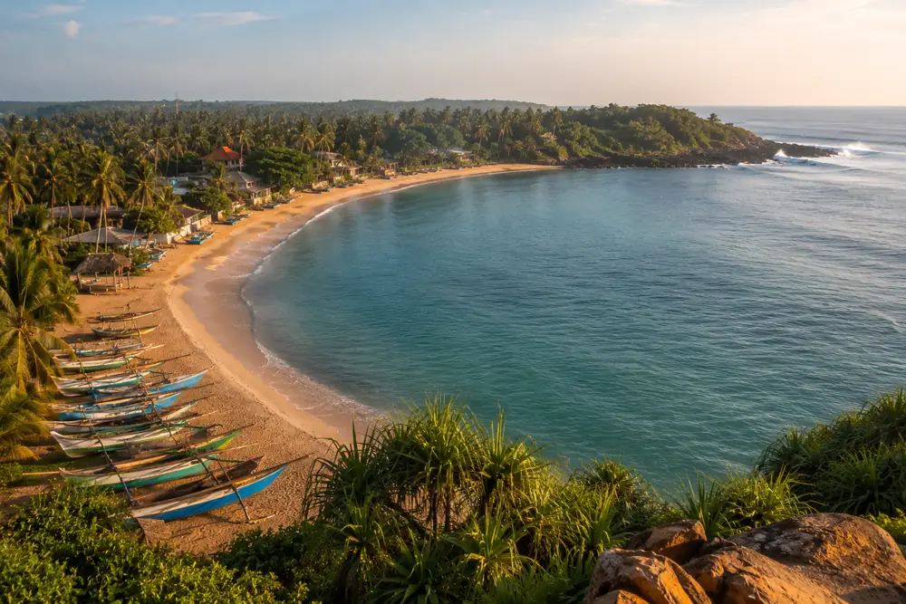
How the coast fits together, north to south: Whiskey Point, Pottuvil with its lagoon behind the beach, the Main Strip along the bay, Main Point, then Peanut Farm and Panama in the sheltered bay south of the harbor.
Distances and travel times
| Place | Distance | Travel time |
|---|---|---|
| Pottuvilfrom Arugam Bay Main Strip | about 4 km | 10 min |
| Whiskey Pointfrom Arugam Bay Main Strip | about 7 km | 15 to 20 min |
| Elephant Rockfrom Arugam Bay Main Strip | about 5 km | 10 to 15 min |
| Peanut Farmfrom Arugam Bay Main Strip | about 8 km | 20 to 25 min |
| Panamafrom Arugam Bay Main Strip | about 12 km | 25 to 35 min |
| Kumana National Park (Okanda gate)from Arugam Bay | about 30 km | about 1 hour |
| Ellafrom Arugam Bay | about 130 km | 3.5 to 4.5 hours by road |
| Colombofrom Arugam Bay | about 320 km | 7 to 8 hours by road |
Illustrative map, not to scale. Distances are honest approximations, checked July 2026.